Massachusetts · Data center record
Chestnut River Holyoke Data Center (former Hampden Papers complex)
- Status
- Status unclear
- Place
- Holyoke, Massachusetts
- County
- Hampden
- Type
- Data center (inventory classification)
Status unclear means the sources listed below do not establish the current stage.
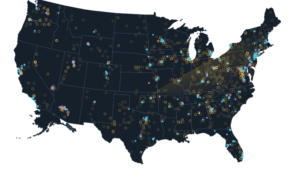
Exact site not published; shown at county level. The dot is placed inside the county for the map and is not the site, its address or a parcel.
Dated record.
- approved
- The original Holyoke Council minutes record June 16, 2026 adoption of the general computing zoning order by nine votes to four, after a specific MGHPCC amendment. The separate study committee order was referred to committee. This records Council action rather than an independently read mayoral signature, legal commencement or exact Chestnut River project denial or physical closure.
Sources.
- Reviewed sourcegazettenet.com · published June 17, 2026 · checked October 14, 2026
- Reviewed government recordwww.holyoke.org · checked October 23, 2026
- Reviewed government recordstorage.googleapis.com · checked October 24, 2026
Nearby records.
365 Data Centers Marlborough (MA1)Amazon Data Services GraftonAmazon Data Services WestboroughCoreSite BO1 - Boston, MADataBank BOS1 - Downtown BostonDigital Realty BOS14Equinix BO2 - Boston, BillericaEvocative BOS1 (Somerville)
Data file updated October 24, 2026. Fields keep their own sources and dates; unknown details stay unknown. Method · Report a correction
Know of a missing project?
Send its name, location and a public source. Submissions are checked before a record changes.
Last checked October 24, 2026, 3 linked sources. Review dates do not certify current operation or every field. Corrections and record history
Updated . What changed: Source review for Chestnut River Holyoke Data Center (former Hampden Papers complex). This is not a project milestone.