
Core Scientific Auburn Data Center (AUBix)
- Status
- Status unclear
- Place
- Auburn, Alabama
- County
- Lee
- Company
- Core Scientific
- Type
- Data center (inventory classification)
Status unclear means the sources listed below do not establish the current stage.
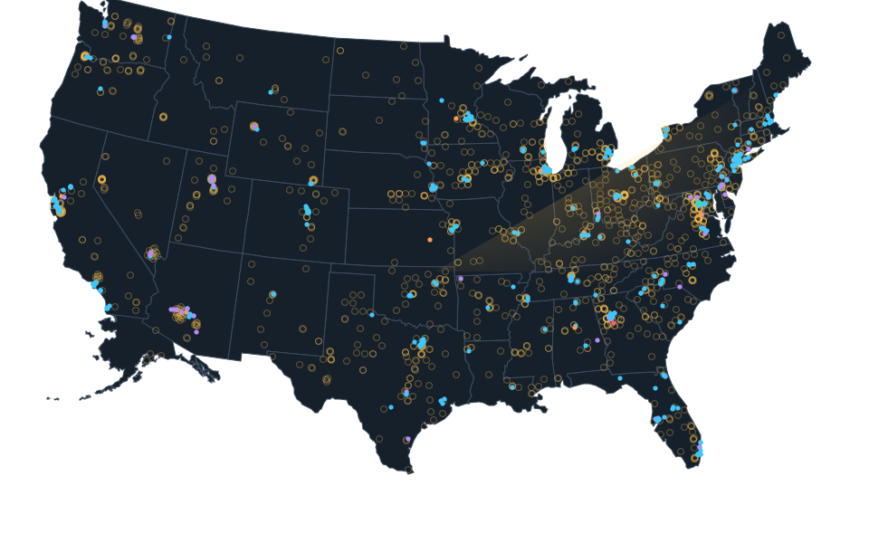
Approximate source parcel reference, not a roof or complete campus. Approximate calculated center of the complete official City of Auburn parcel 0807260000025005, PIN 60478, independently matched through the City Address Authority to the operator facility street 1571 W Samford Avenue. The original literal Census query has zero matches and is retained. The center is a bounded source parcel reference, without a surveyed roof, legal title, operating computing or full campus claim. Existing status group unknown remains unchanged. Imagery acquisition date is unknown and may predate construction.
Dated record.
- announced
- The February 19, 2025 publication date of the original company release announces entry into the existing Auburn AUBix facility and a planned launch. This is not the exact physical opening, completion of every expansion or an independently verified delivered capacity.
Sources.
- Reviewed sourcecorescientific.com · checked October 14, 2026
- Core Scientific reviewed sourcewww.sec.gov · checked October 17, 2026
- Reviewed government recordinvestors.corescientific.com · published March 2, 2026 · checked October 23, 2026
- Reviewed operator sourceinvestors.corescientific.com · published February 19, 2025 · checked October 23, 2026
- Reviewed operator sourcecorescientific.com · checked October 23, 2026
- Independent City Address Authority point for the exact operator streetgis.auburnalabama.org · checked October 23, 2026
- Complete spatial intersection joins the City address authority to one parcelgis.auburnalabama.org · checked October 23, 2026
- Complete exact full situs and PIN parcel querygis.auburnalabama.org · checked October 23, 2026
- City geometry and Lee County parcel attribute definitionsgis.auburnalabama.org · checked October 23, 2026
- January 20, 2026 agenda separates data center 1571 and substation 1501api2.auburnalabama.org · checked October 23, 2026
- Complete literal Census street response and county contextgeocoding.geo.census.gov · checked October 23, 2026
- Actually viewed setting with unknown image acquisition datebasemap.nationalmap.gov · checked October 23, 2026
Nearby records.
Data file updated October 24, 2026. Fields keep their own sources and dates; unknown details stay unknown. Method · Report a correction
Know of a missing project?
Send its name, location and a public source. Submissions are checked before a record changes.
Last checked October 23, 2026, 12 linked sources. Review dates do not certify current operation or every field. Corrections and record history
Updated . What changed: Source review for Core Scientific Auburn Data Center (AUBix). This is not a project milestone.