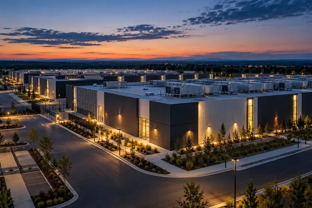
Edged Kansas City
- Status
- Agency reported service
- Place
- Kansas City, Missouri
- County
- Clay County
- Company
- Edged
- Type
- Data center (inventory classification)
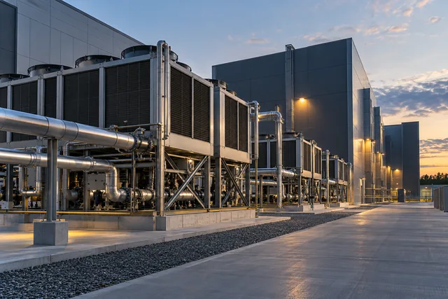
Status context. The complete original State release explicitly reports an opened Kansas City computing facility and a prior day ceremony. The complete current original provider page names the same Arlington Avenue facility and describes present access, interconnection and remote hands service. Together these support agency and provider reported service. The ceremony and older space availability quarter are not exact first computing commissioning. Advertised critical capacity, cooling savings, design efficiency, SLA and tier descriptions are not independently measured current operation or certification. The tax program statement alone is not the basis for operation.
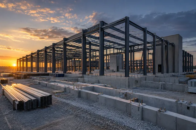
Calculated official source street reference, not a surveyed roof or parcel. The exact named Edged Kansas City facility page identifies 3420 N Arlington Avenue, Kansas City, MO 64161. One complete literal Census street range supplies only a calculated reference in Clay County. The unknown imagery date may predate later construction; no roof or present physical stage is certified. Existing Native group unknown remains unchanged. Imagery acquisition date is unknown and may predate construction.
Dated record.
- announced
- The original Missouri DED December 12, 2024 publication reports the Kansas City Edged opening and says a ribbon ceremony occurred the prior day. The publication and ceremony are distinct from an independently verified exact first computing commissioning day.
Sources.
- Reviewed sourceded.mo.gov · published December 12, 2024 · checked October 14, 2026
- First party named campus and scoped operator relationshipedged.us · checked October 23, 2026
- Complete literal Census street range and county responsegeocoding.geo.census.gov · checked October 23, 2026
- Actually viewed setting with unknown image acquisition datebasemap.nationalmap.gov · checked October 23, 2026
Nearby records.
Data file updated October 26, 2026. Fields keep their own sources and dates; unknown details stay unknown. Method · Report a correction
Know of a missing project?
Send its name, location and a public source. Submissions are checked before a record changes.
Last checked October 24, 2026, 4 linked sources. Review dates do not certify current operation or every field. Corrections and record history
Updated . What changed: Edged Kansas City: reviewed status evidence, reviewed evidence.