


491st Avenue and Thomas Road Data Center / Solar Site
- Status
- Status unclear
- Place
- Tonopah, Arizona
- County
- Maricopa County
- Type
- Data center (inventory classification)
Status unclear means the sources listed below do not establish the current stage.
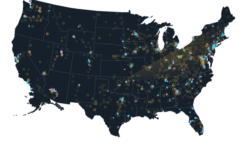
Approximate source parcel reference, not a roof or complete campus. Approximate calculated center of official source parcel 506-30-024A independently joined to the original named computing or mixed use planning filing. One complete source parcel 024A within the named two parcel filing. Parcel 021A includes an expressly excluded approximately 2.12 acre residential portion; that parcel and its cutout are not selected, unioned or reconstructed. Parcel center and boundary are source references only, with no certified roof, tenant, complete campus or whole parcel computing use. Every original role, status, quantity and date remains unchanged. Imagery acquisition date is unknown and may predate construction.
Sources.
- Reviewed sourceazbex.com · published February 18, 2026 · checked October 14, 2026
- Original named computing or mixed use filing with explicit source parcel identifierwww.maricopa.gov · checked October 24, 2026
- Exact complete official parcel query, calculated center onlygis.mcassessor.maricopa.gov · checked October 24, 2026
- Actually viewed setting, imagery acquisition date unknownimagery.nationalmap.gov · checked October 24, 2026
Nearby records.
Data file updated October 24, 2026. Fields keep their own sources and dates; unknown details stay unknown. Method · Report a correction
Know of a missing project?
Send its name, location and a public source. Submissions are checked before a record changes.
Last checked October 24, 2026, 4 linked sources. Review dates do not certify current operation or every field. Corrections and record history
Updated . What changed: Source review for 491st Avenue and Thomas Road Data Center / Solar Site. This is not a project milestone.