
NOAA Environmental Security Computing Center (NESCC)
- Status
- Institution reported computing service
- Place
- Fairmont, West Virginia
- County
- Marion
- Type
- Data center (inventory classification)
Status context. Selected original current public Hera guide overview explicitly describes available computing resources and test and development systems through NESCC. This supports institution reported computing service at the named center scope. Only public overview context was used; hardware inventory, theoretical performance, current uptime, specific workloads and exact first commissioning remain uncertified. The unavailable original Rhea announcement was not read from indexed text or obtained through another copy. This independently published current guide is separate from that announcement, and no Rhea installation or new modular building completion is inferred.
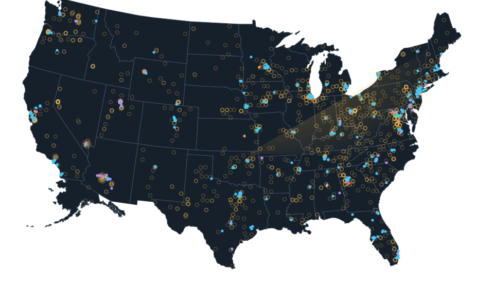
Exact site not published; shown at county level. The dot is placed inside the county for the map and is not the site, its address or a parcel.
Sources.
- Reviewed sourcewvpress.org · published September 23, 2025 · checked October 14, 2026
- Reviewed government recorddocs.rdhpcs.noaa.gov · checked October 24, 2026
Nearby records.
Data file updated October 26, 2026. Fields keep their own sources and dates; unknown details stay unknown. Method · Report a correction
Know of a missing project?
Send its name, location and a public source. Submissions are checked before a record changes.
Last checked October 24, 2026, 2 linked sources. Review dates do not certify current operation or every field. Corrections and record history
Updated . What changed: Source review for NOAA Environmental Security Computing Center (NESCC). This is not a project milestone.