


Walmart Bentonville Data Center
- Status
- Status unclear
- Place
- Bentonville, Arkansas
- County
- Benton
- Type
- Data center (inventory classification)
Status unclear means the sources listed below do not establish the current stage.
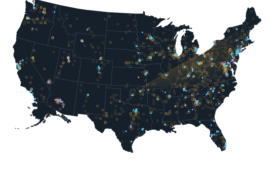
Calculated street reference, not a roof or tenant floor. The original environmental facility record explicitly distinguishes the EAST DATA CENTER site address from administrative mail and identifies 805 Moberly Lane, Bentonville, AR 72712. One complete unique literal Census street range supports this calculated street reference inside the unchanged county. No roof, tenant floor, surveyed parcel, whole campus or current computing operation is certified. Original source publication date and imagery acquisition date are unknown; imagery may predate construction.
Sources.
- Reviewed sourceadeq.state.ar.us · checked October 14, 2026
- Complete literal published street query, calculated range onlygeocoding.geo.census.gov · checked October 24, 2026
- Actually viewed source setting, acquisition date unknownimagery.nationalmap.gov · checked October 24, 2026
Nearby records.
Data file updated October 26, 2026. Fields keep their own sources and dates; unknown details stay unknown. Method · Report a correction
Know of a missing project?
Send its name, location and a public source. Submissions are checked before a record changes.
Last checked October 24, 2026, 3 linked sources. Review dates do not certify current operation or every field. Corrections and record history
Updated . What changed: Walmart Bentonville Data Center: reviewed map reference, location limits, reviewed evidence.