

Wildcat Ridge AI Data Center Campus
- Status
- Agency listed proposal
- Place
- Archbald, Pennsylvania
- County
- Lackawanna County
- Type
- Data center (inventory classification)
Status context. The DEP row explicitly names Wildcat Ridge and Pine Line in Archbald. A named proposal and its current tracker account do not establish current construction or a power delivery milestone. The original DEP project CSV lists the named project as proposed with no applications received in that tracker account. This does not establish absence of every municipal or other agency application. The scoped label describes the documented proposal or permit account, not physical operation. Submission dates do not become issuance or construction dates. Existing corporate roles, legal identity, technical quantities and location references remain unchanged.
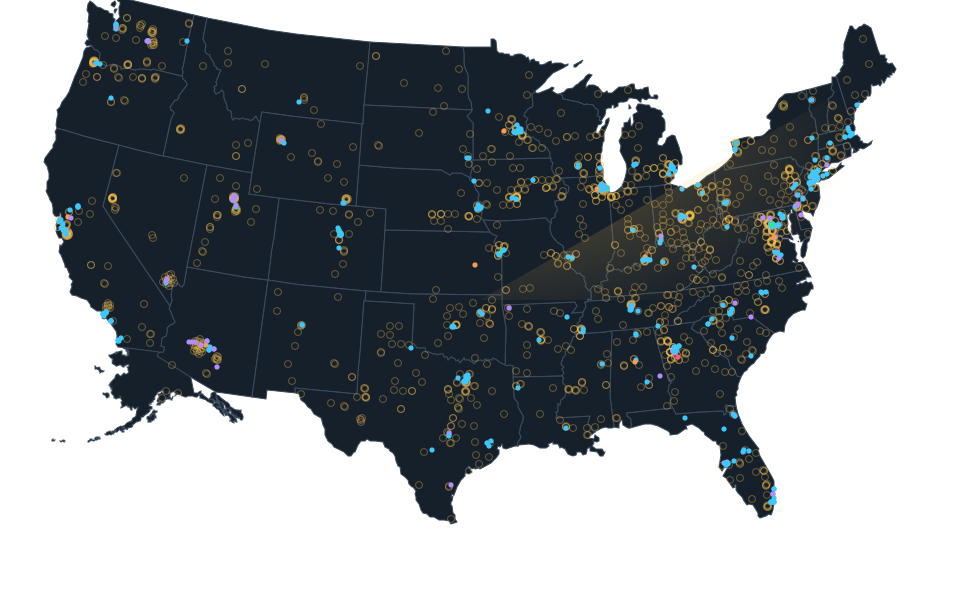
Exact site not published; shown at county level. The dot is placed inside the county for the map and is not the site, its address or a parcel.
Sources.
- Reviewed sourcewww.wvia.org · checked October 15, 2026
- Reviewed government recordgis.dep.pa.gov · checked October 23, 2026
- Reviewed government recordgis.dep.pa.gov · checked October 23, 2026
Nearby records.
Data file updated October 24, 2026. Fields keep their own sources and dates; unknown details stay unknown. Method · Report a correction
Know of a missing project?
Send its name, location and a public source. Submissions are checked before a record changes.
Last checked October 23, 2026, 3 linked sources. Review dates do not certify current operation or every field. Corrections and record history
Updated . What changed: Wildcat Ridge AI Data Center Campus: reviewed status evidence, source links, reviewed evidence.