

California Department of Technology Vacaville Data Center (1020 Vaquero Circle)
- Status
- Agency reported service
- Place
- Vacaville, California
- County
- Solano
- Type
- Data center (inventory classification)
Status context. The current original California Department of Technology service pages expressly describe the named Vacaville facility as a production and disaster recovery data center and provide current tenant service procedures. Agency reported service is limited to that named facility. The separate February 5, 2026 clearinghouse receipt concerns renewal of existing leased space and an exemption; it does not itself prove computing, a completed lease, construction or an opening. No design equivalence, security certification, capacity, exact room location or performance guarantee is promoted.
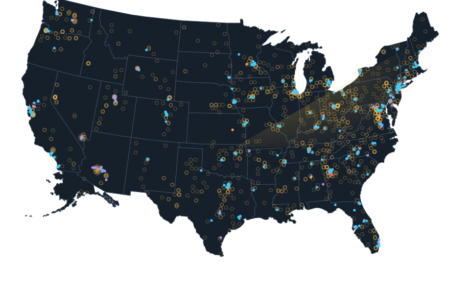
Approximate official source parcel reference, not a roof or complete campus. Approximate calculated center of official Solano County GIS reference parcel 0133600030 for the explicitly named project street 1020 Vaquero Circle, Vacaville, CA 95688. No surveyed boundary, roof, title, tenant, owner, independent building, current operation or complete campus is established. Existing Native status remains operating. Imagery acquisition date is unknown and may predate construction.
Dated record.
- announced
- The February 5, 2026 State clearinghouse receipt date records a notice of exemption for proposed lease renewal at the existing Vacaville data center. This is an administrative receipt date, not a physical opening, a construction start, an executed lease or proof of computing operation.
Sources.
- Reviewed sourceceqanet.lci.ca.gov · published February 5, 2026 · checked October 14, 2026
- Reviewed government recordwww.cdt.ca.gov · checked October 23, 2026
- Reviewed government recordwww.cdt.ca.gov · checked October 23, 2026
- Exact official source parcel or situs queryservices2.arcgis.com · checked October 23, 2026
- Official public parcel layer definitionsservices2.arcgis.com · checked October 23, 2026
- Actually viewed setting, acquisition date unknownbasemap.nationalmap.gov · checked October 23, 2026
Nearby records.
Data file updated October 25, 2026. Fields keep their own sources and dates; unknown details stay unknown. Method · Report a correction
Know of a missing project?
Send its name, location and a public source. Submissions are checked before a record changes.
Last checked October 23, 2026, 6 linked sources. Review dates do not certify current operation or every field. Corrections and record history
Updated . What changed: Source review for California Department of Technology Vacaville Data Center (1020 Vaquero Circle). This is not a project milestone.