


Kentucky · Data center record
PowerHouse Data Centers, Louisville (Camp Ground Road)
- Status
- Under construction
- Place
- Louisville, Kentucky
- County
- Jefferson County
- Company
- PowerHouse Data Centers
- Type
- data center
- Utility
- LG&E
- Power
- Up to 525 MW maximum utility power in the current operator plan
- Water
- Louisville Water
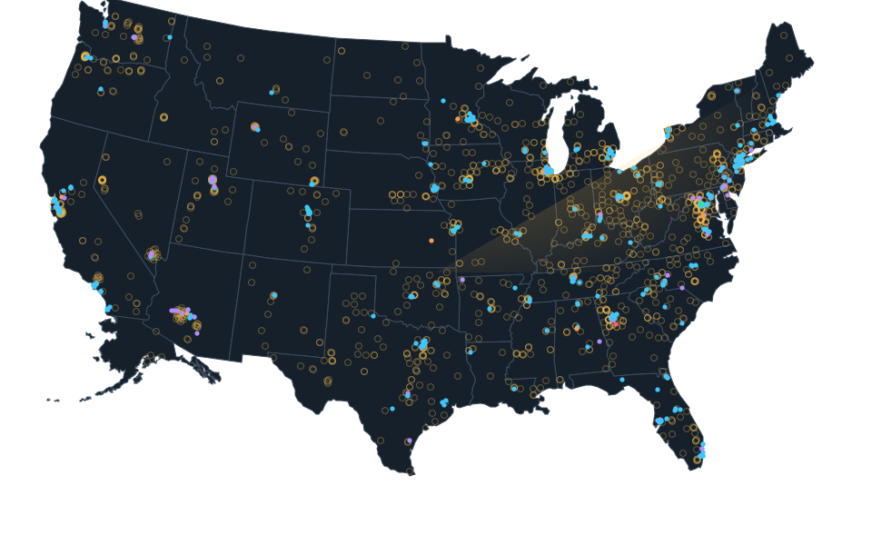
Exact site not published; shown at county level. The dot is placed inside the county for the map and is not the site, its address or a parcel.
Dated record.
- announced
- PowerHouse, Poe and LG&E announced the Louisville development and utility-access forecasts. The date is an announcement, not a proved construction start, power delivery or opening.
Documented concerns.
- Air and generators, Water use, Power and electric rates, Land use and zoningLouisville Public Media reported that residents at a March 5 hearing raised questions about pollution, water supplies, electricity demand and local development rules for the Camp Ground Road project proposed by Poe.
A documented item is a public record or report, not an Atlas finding.
Sources.
- www.powerhousedata.comwww.powerhousedata.com
- www.lpm.orgwww.lpm.org
- Current Louisville project specificationswww.powerhousedata.com · checked October 16, 2026
- Original utility announcementlge-ku.com · published January 16, 2025 · checked October 16, 2026
- Developer project pagewww.poecompanies.com · checked October 16, 2026
Nearby records.
Aphorio Carter enterprise facilityBluegrassNet 321 facilityBluegrassNet Fourth Street facilityCogent Louisville / 332 West Broadway carrier hotelCogent Louisville Edge Data CenterFlexential Louisville DowntownFlexential Louisville EastIgLou data centerUniversity of Louisville Miller IT CenterDermody Properties Kramers Lane Data Center
Data file updated October 24, 2026. Fields keep their own sources and dates; unknown details stay unknown. Method · Report a correction
Know of a missing project?
Send its name, location and a public source. Submissions are checked before a record changes.
Last checked October 16, 2026, 5 linked sources. Review dates do not certify current operation or every field. Corrections and record history
Updated . What changed: Source review for PowerHouse Data Centers - Louisville (Camp Ground Road). This is not a project milestone.