

TierPoint St. Louis, Locust
- Status
- Operator-listed development
- Place
- Saint Louis, Missouri
- County
- St. Louis city
- Company
- TierPoint
- Type
- Data center (inventory classification)
Status context. TierPoint describes its St. Louis Locust facility as currently under development. This supports an operator-listed development plan, not verified construction, opening, energized capacity or operation.
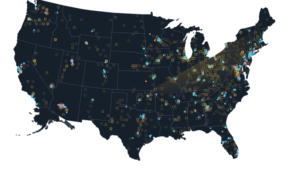
Approximate planned facility area, not a confirmed parcel. Approximate planned facility area based on the published TierPoint service address 2300 Locust Street, St. Louis, MO 63103 and one Census street range inside the existing county. This is not a surveyed roof, confirmed parcel, full campus or ownership finding. Existing native status remains proposed.
Sources.
- Reviewed sourcewww.tierpoint.com · checked October 14, 2026
- Calculated Census street range and county contextgeocoding.geo.census.gov · checked October 23, 2026
- Census address range method and limitsgeocoding.geo.census.gov · checked October 22, 2026
- Viewed aerial setting only, acquisition date unknownbasemap.nationalmap.gov · checked October 23, 2026
Nearby records.
Data file updated October 26, 2026. Fields keep their own sources and dates; unknown details stay unknown. Method · Report a correction
Know of a missing project?
Send its name, location and a public source. Submissions are checked before a record changes.
Last checked October 23, 2026, 4 linked sources. Review dates do not certify current operation or every field. Corrections and record history
Updated . What changed: TierPoint St. Louis - Locust: reviewed map reference, location limits, reviewed evidence.