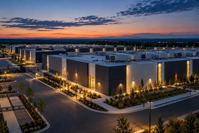
Wisconsin data center water reporting and use.
4 sourced items are documented. Reporting duties, permitted quantities and reported use retain separate meanings.
Historical record, Program requirements. Checked: October 27, 2026.
Evidence applies only to the subjects and dates in the linked sources. State context does not assign a tariff, permit or quantity to every facility.
Open the Wisconsin data center map.
Sourced findings.
Racine diversion2025 municipal scope and Microsoft boundary
Municipal water context with explicit geography, meter uncertainty and source conflicts. No campus water amount or exact record association.
Wisconsin Department of Natural Resources. Source: Publication date not stated. Checked: October 24, 2026.Full source details load when opened.
Wisconsin basin permit thresholds and averaging periods
Great Lakes Basin permit guidance separates average and consecutive daily tests.
Wisconsin Department of Natural Resources. Source: Publication date not stated. Checked: October 25, 2026.Full source details load when opened.
Wisconsin historical thermoelectric water context
Historical2015 state thermoelectric power estimates, including fresh and saline water. Not current2026 conditions, data center facility use, drinking water demand, permit allocation or proof of a data center effect. Withdrawal, total water use including deliveries and reclaimed wastewater, and consumptive use are distinct. Consumption may exceed withdrawal because other supplied water is included. Independent rounding is retained; no facility joins or per kWh allocation.
U.S. Geological Survey. Source: Publication date not stated. Checked: October 26, 2026.Full source details load when opened.
Wisconsin historical2020 modeled thermoelectric water context
USGS2008-2020 thermoelectric water-use reanalysis,published annual output filtered to2020:modeled annual-mean million gallons/day,not observed current2026 water use.958plant-year rows cover48conterminous states,not a complete facility census or data center inventory. Withdrawals include fresh/saline rows;consumption at coastal saline plants was not modeled.54Once-through saline source zero-consumption placeholders are excluded from consumption sums,not measured zero. State best/lower/upper figures are calculated sums of source plant model estimates and thermodynamic plausibility limits,not statewide statistical confidence intervals. Do not compare directly with2015county compilation as a measured trend;methods differ. HUC12 IDs and county labels do not certify parcels;README says public model-input coordinates use interpolated HUC12 centroids,not precise plant locations. No source coordinates adopted,site joins,permit/sustainable availability/datacenter allocation or causal inference.
U.S. Geological Survey. Source: October 31, 2023. Checked: October 27, 2026.Full source details load when opened.
Explore county records.
Explore data center records.
These records are in Wisconsin. State evidence does not establish an individual record match.
- APECS Data Center Campus (Former GM Assembly Plant)
- Cascade Digital Power Hatfield Bitcoin Mine (Lake Arbutus Hydro)
- Cassville Data Center Campus (Undisclosed Developer)
- Cloverleaf Carlton Data Center Site (Kewaunee County)
- Cloverleaf Wrightstown Data Center Inquiry (Village of Wrightstown)
- CyberLynk Franklin Data Center (MKE1)
- Data Holdings Eau Claire Data Center
- Data Holdings Milwaukee Data Center
- DPO Wisconsin Rapids AI Computing Facility
- EdgeConneX Madison (MAD01)
- Epic Hosting Verona Data Center
- Expedient MKE1 (Milwaukee/Franklin)
Find the full record collection on the state map.
Updated . What changed: Latest source review in this evidence collection. It does not establish a site outcome.